Digbeth’s Changing Streets: Where to Follow Transport and Public-Realm Updates
Where to start with council information on Digbeth’s streets, how to distinguish proposals from access instructions, and what to record before a journey or delivery.
Published
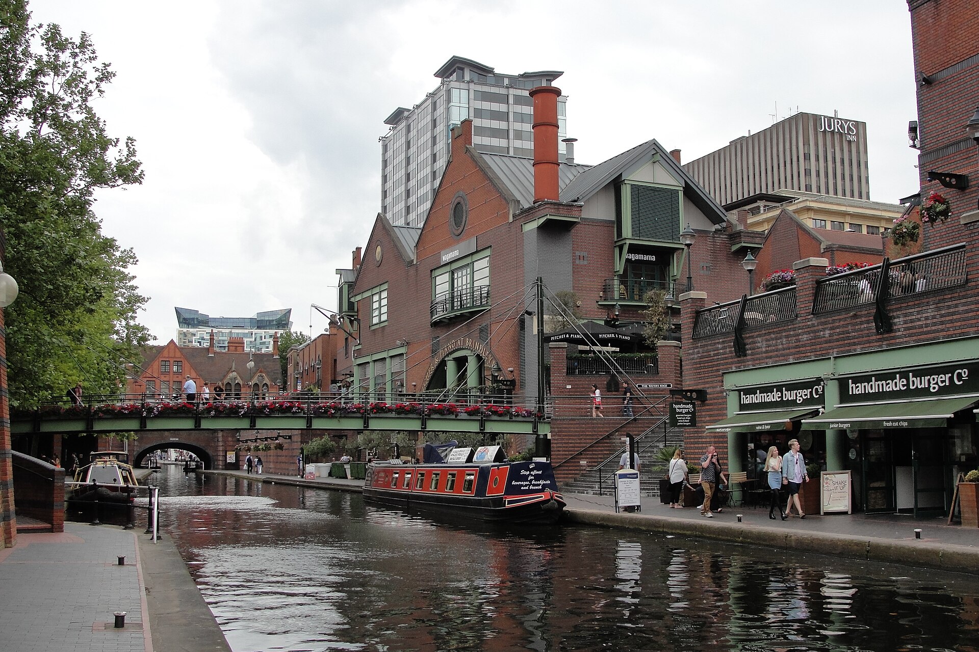

For transport and street updates in Digbeth, start with Birmingham City Council’s Central Birmingham directory. It lists both Digbeth and the Digbeth Active Travel and Streets programme, alongside wider movement and public-realm information. Those entries provide a useful starting point for finding the relevant project. Their presence alone doesn’t establish which streets are affected or when work will finish.[1]
Choose the Entry That Matches Your Question
The directory separates several subjects: the city centre movement and access strategy, city centre public realm, Digbeth, and the Digbeth Active Travel and Streets programme. For a question about a particular Digbeth street, begin with the Digbeth entries. For the wider thinking behind movement or public-space changes, follow the corresponding city centre entry.[1]
Use those names as search routes rather than descriptions of completed work. An entry labelled as a programme doesn’t, by itself, tell you that a route is open, that a crossing has changed or that a restriction applies today. Look for an explicit statement about the street and the journey you need to make.[1]
Build a Street-Specific Access Note
A useful access note starts with the exact location. If your enquiry concerns High Street, record the premises address and the stretch between named junctions. Then identify the question: reaching an entrance on foot, making a delivery, cycling through, or arranging a vehicle collection. Keep these questions separate so that an answer about one journey doesn’t become an assumption about another.[1]
For each relevant council update, record the page address, the streets it names, the movement it discusses and any stated conditions. Keep the council’s wording for restrictions and exceptions. If the information only describes a proposal, label it as a proposal in your own notes rather than turning it into directions for customers or drivers.[1][2]
Leave unanswered questions visible. A project description without an entrance-level instruction cannot confirm access to an individual business. Before circulating directions, seek clarification on that precise gap, such as whether a named entrance can be approached from a particular junction.[1]
Read the 2045 Framework for Context
The council’s Central Birmingham Framework 2045 sets a strategic vision and identifies areas with potential for change. The document describes itself as a non-statutory planning document supporting the Birmingham Local Plan review. It also describes further work with stakeholders and communities to develop proposals.[2]
That makes the framework useful for understanding the direction of change and the relationship between development and supporting infrastructure. For a delivery or customer visit, you still need information that explicitly addresses the relevant street and journey. The framework’s planning horizon cannot supply a completion date for an individual scheme.[2]
Check the Clean Air Zone Separately
Birmingham’s Clean Air Zone covers the city centre area inside the A4540 Middleway, excluding the Middleway itself. The council says it operates around the clock, every day, and directs travellers to check information about the zone and charges before travelling.[1]
Keep that check alongside your street-access enquiry. Knowing the zone boundary doesn’t answer whether a particular approach is available. Before your next journey, return to the relevant Digbeth entry and look for information that answers your exact access question.[1]
Sources and checks
These sources were used for this article. Availability, prices and service details can change after the stated check date.
- Central Birmingham | Birmingham City Council
Checked 20 October 2026.
The council directory lists Digbeth and the Digbeth Active Travel and Streets programme. The directory also lists city centre movement, access and public-realm subjects. The directory passage does not establish street-specific restrictions, entrance access or completion dates. The Clean Air Zone covers the city centre area inside the A4540 Middleway and excludes the Middleway itself. The council describes the zone as operating continuously and advises checking zone and charging information before travelling. The article recommends organising access enquiries around an exact street, journey and explicit project information.
- https://www.birmingham.gov.uk/download/downloads/id/29192/our_future_city_%25E2%2580%2593_central_birmingham_framework_2045.pdf
Checked 20 October 2026.
The framework describes itself as a non-statutory planning document. It supports the Birmingham Local Plan review and identifies areas with potential for change. It discusses proposals and infrastructure supporting growth and housing. Its strategic ambition extends to 2045. The council describes further proposal development with stakeholders and communities. The strategic horizon does not establish a completion date or access instruction for an individual Digbeth street.